Relief Maps - 3D GPS
Category : Travel and Navigation
Author Name : Relief Maps - 3D GPS
Operating System : android
License : Free
Rating : Teen
Relief Maps - 3D GPS Download Links for Android
Relief Maps - 3D GPS Screenshot
About Relief Maps - 3D GPS Android Application
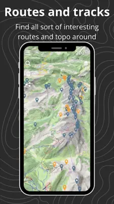
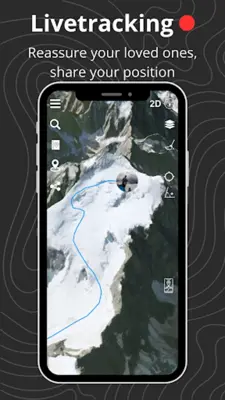
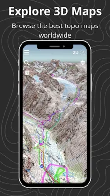
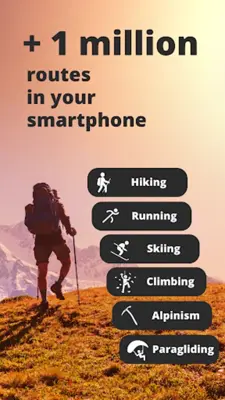
Relief Maps - 3D GPS is a multifaceted application designed for adventure seekers and outdoor enthusiasts. Its navigation system, leveraging 3D maps, guides individuals through activities like hiking and skiing, while the offline functionality ensures availability in remote areas. With detailed route information and topographical layouts, it supports activities such as climbing, paragliding, trekking, and mountaineering, providing valuable data for route planning and safety. The app offers basic features for free, while the premium subscription unlocks exclusive conveniences like offline maps, real-time tracking, and enhanced weather forecasts.
Application Official Website
https://reliefmaps.ioApplication Support Email
[email protected]Application Main Features
- Offline functionality for navigation in remote areas.
- Robust route catalog for hikers.
- Custom route creation and export.
- Topographical details and 3D visualization for mountain climbers.
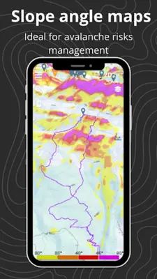
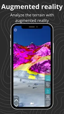
- Augmented reality and slope maps for skiers and ski tourers.
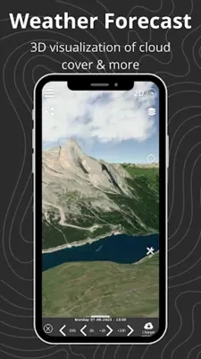
- Climb start locators and in-depth weather data for climbers and paragliders.
- Advanced features like offline maps, real-time tracking, and comprehensive weather forecasts (premium subscription).
- Support for various topographical and satellite maps (USGS, IGN, Swisstopo).
- Syncing with Suunto watches.
- GPX import/export capabilities.
Application Ratings
The content is rewritten by Gemini Ai ,Published Date : 18/3/2024 , Modified Date : 18/3/2024
